Mapping the Forest
Drone research pinpoints 1,000 trees, earns University arboretum accreditation
HIGHLIGHTS
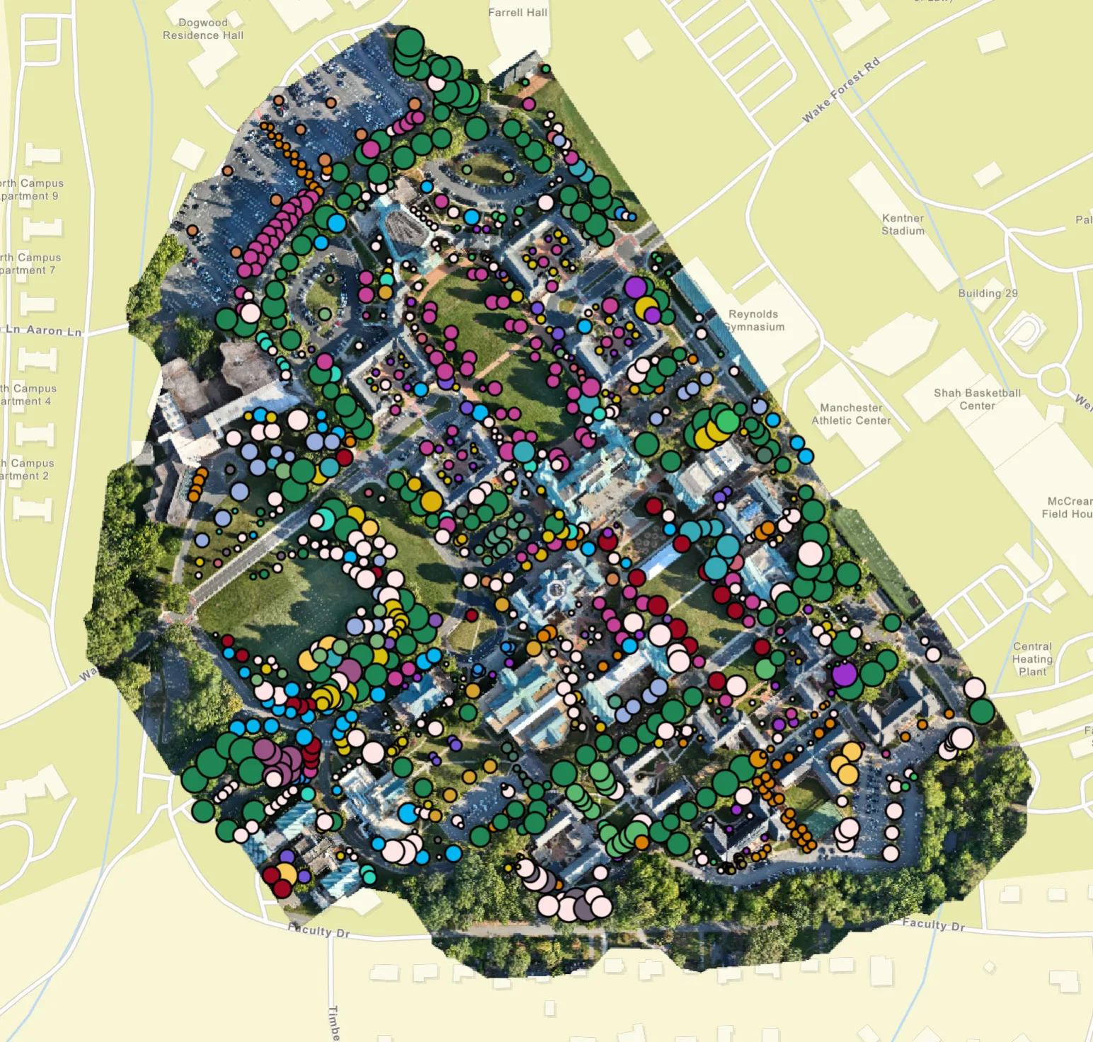
- The project mapped more than 1,000 individual trees across 90 acres, capturing more than 300 million laser data points and documenting more than 135 species.
- Wake Forest is now one of six academic institutions in North Carolina to hold Level II Arboretum accreditation from ArbNet.
- The 3D interactive tree map is publicly accessible.
It took one drone, 300 million laser data points and seven teams of students on foot to map Wake Forest University’s trees.

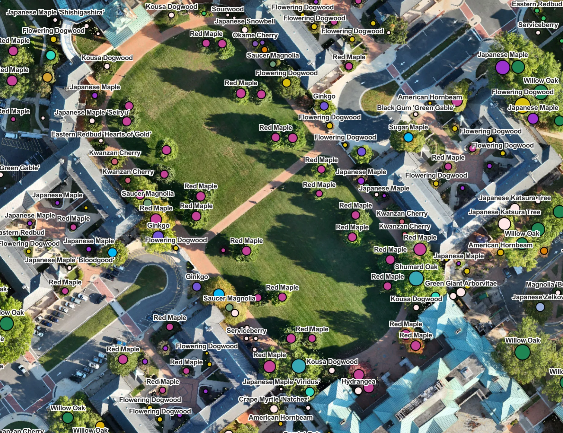
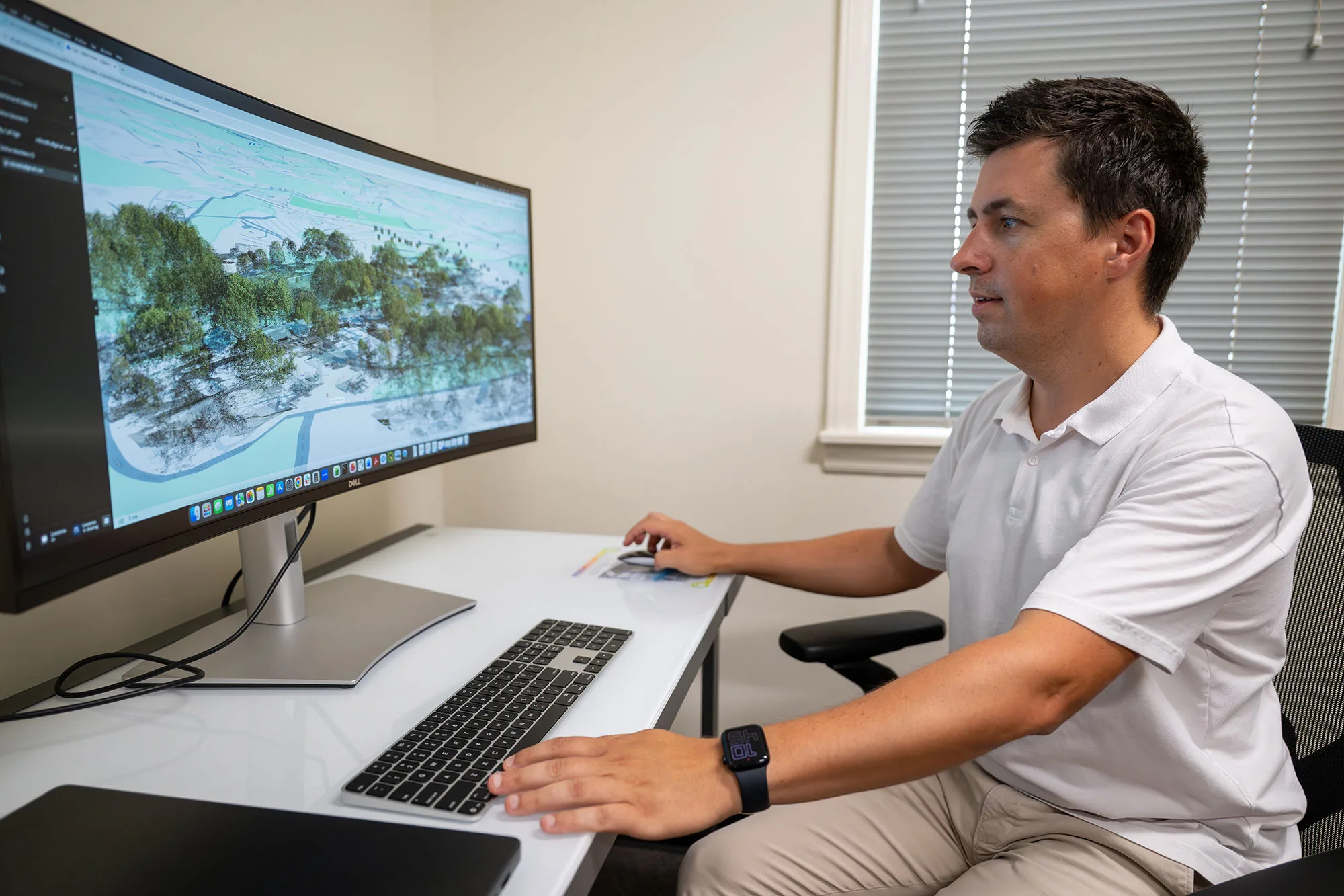
Led by Ovidiu Csillik, an assistant professor of remote sensing in the environment and sustainability studies program, the project produced a publicly accessible, interactive 3D digital map of more than 1,000 trees and helped the University earn international accreditation as a Level II arboretum.
“This is a collaboration between many departments and people on campus from the biology department, the Office of Sustainability and our campus arborist, together with the students,” Csillik said.
The new inventory currently covers 90 acres in the central area of the University’s 350-acre campus. A click on the map reveals individual trees by location, common name and height. Zooming in shows the name of each species, like southern magnolia or Kwanzan cherry. A larger dot indicates a taller tree. The tallest tree is a willow oak behind Winston Hall, reaching nearly 109 feet.
Stitching together a picture of the tree canopy
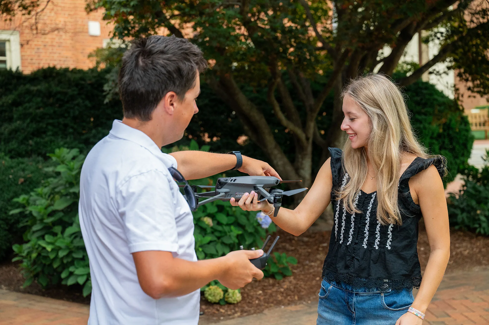
Students in Csillik’s “Drones for Environmental Applications” class flew unmanned aircraft over campus following a grid pattern. By overlapping flight paths, the data from the drones could be stitched together digitally to create a complete picture of the canopy.
“After doing a LiDAR scan of the campus, you have this point cloud of data, a bunch of little dots essentially outlining everything you scan,” said Mia Berens, a student in the class who also works in Csillik’s remote sensing lab. “Honestly, the trickier part is once you have the data, filtering it out and getting rid of the points you don’t need so you just have the trees.”
The students gathered data last September and again in March.
“In the summer, you get all the points of the leaves, and in the winter, there’s a better view of the canopy and all the branches,” Berens said. “If you overlay the summer and winter points, you have a really great outline of exactly what the trees look like. It’s pretty cool. I realized I really do like data. I feel like the future is there with environmental science. That’s where the world is heading, so it’s pretty smart to get ahead of it and learn about it now. I think that’s where a lot of the jobs will be.”
Everyone in the class earned a remote-pilot certification to fly the drones.
“Students love hands-on and real-world applications. If they can also see an impact, that’s even better.”
Ovidiu Csillik
Using tech, data to preserve trees
Drones have become an essential tool for environmental research and monitoring. The technology used on campus is similar to that used by Csillik for his research in the Amazon rainforest, where the study area is about 2,000 times as large.
In his first-year seminar, “Technology for Nature Conservation,” students collected ground-level field data on campus to identify individual trees.
“We had an app on our phones called iNaturalist, and we would take pictures of trees, run it through an AI database that would tell us the species, and on an interactive map, we would pinpoint what tree, where it was on campus,” said Eleanor Schmitt, a student in the seminar.
They identified 135 species. Jim Musetter, the University arborist, then validated the students’ tree identifications and filled in a few gaps.
“Wake Forest is a great living laboratory because, although it’s small in size, it provides a walkable study area where you can get a lot of species diversity,” Csillik said. “We have data from the ground and from the air, so we can calibrate and validate each other.”
Tracking carbon storage
The project builds on a partial tree inventory of the Reynolda Campus started in the fall of 2008, with updates in 2012 and 2013. Managed by the biology department, the earlier database cataloged the locations and key details of the campus’s major trees.
The new digital tree map can help quantify carbon storage and the benefits of shade on building energy use and conservation efforts.
“Knowledge of campus trees can inform campus planning and decisions, support engaged learning and research projects, and showcase the beauty, biodiversity and resilience of campus trees,” said Erin Hamilton, assistant director of sustainability strategy in Wake Forest’s Office of Sustainability, who helped coordinate the project. “Becoming an accredited arboretum further demonstrates Wake Forest’s commitment to preserving and protecting our trees.”
Accreditation relies on precise cataloging and mapping. Wake Forest is now one of just six North Carolina higher education institutions with this distinction, joining a global network of 250 Level II arboreta.
Wake Forest has surpassed the 100 unique species threshold required for Level II ArbNet Accreditation, building on Wake Forest’s 15-year legacy as a Tree Campus Higher Education, a designation of the Arbor Day Foundation.
The goal is to regularly rescan this area and gradually expand coverage to include other parts of campus.
“We became part of something that’s beneficial to Wake and beneficial for the community,” Schmitt said.
Categories: Environment & Sustainability, Experiential Learning
Media Contact
Cheryl Walker
336.758.5237
Recent News
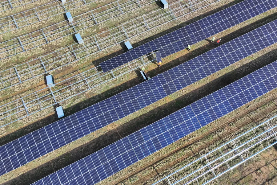
Solar energy center begins operations with support from Wake Forest University
Solar energy center begins operations with support from Wake Forest University
Sabin Center conference explores leading in times of environmental crisis
Sabin Center conference explores leading in times of environmental crisis